Day 5 - 2026-05-11 - Kati_Thanda (Lake Eyre) - Birdsville Flight
Today was our flight over Lake Eyre to Birdsville.
The Arid Air flight left at scheduled 09:45 departure and we boarded a full Cessna Caravan (VH-TQW) with a total of ten passengers. Yesterday’s weigh-in influenced our aircraft seating position and we also submitted our Birdsville Hotel lunch selection.
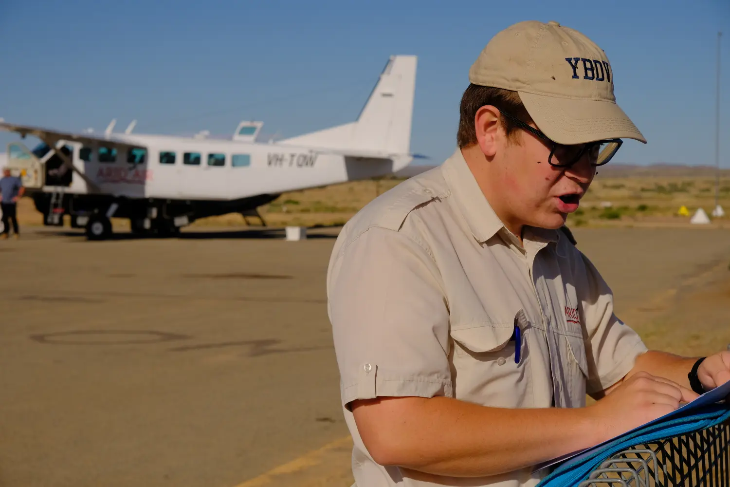 5.1 Boarding the flight at Marree
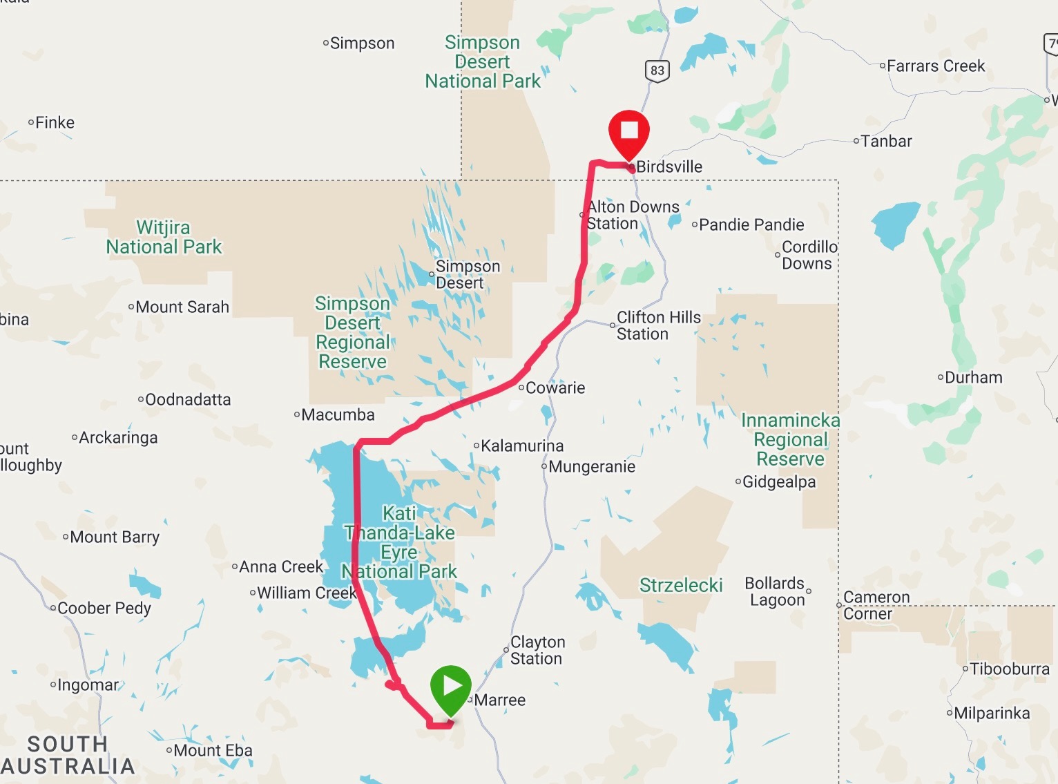 5.29 Marree to Birdsville Flight Track
We shared the rear two rows with an experienced outback traveller Vicky from Tasmania & adventure motorcycling Alan from Adelaide. The plane is 6 rows x 2 passengers configuration, giving everyone their own window seat. As the flight is over water, the wearing of the emergency inflatable life vest is mandatory.
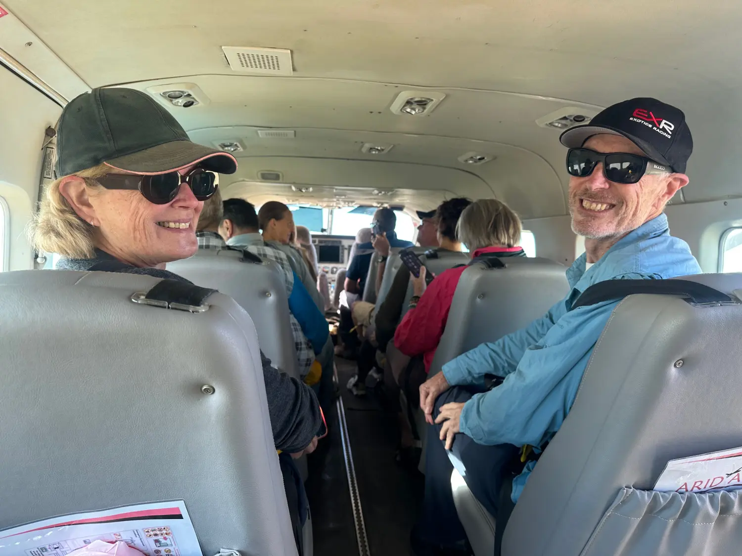 5.2 Marree, SthAust
Initially the flight travelled 70km north west to view the Marree Man. Recent rain had increased the desert growth making the outline less visible then the dry. The legs and feet of a man were visible from altitude.
Marree Man and its mysterious origins is a tourist drawcard. The origins dates from 1998 when a four kilometre outline of an indigenous man was traced in the soil. From a 2013 “ABC Radio National” interview with Marree Roadhouse owner Lyall Oldfields : “It’s 28 kilometres around…done with a 16 disc plough and done ten times wide, which makes it five hundred kilometres of ploughing” ….. “One person must have done it because as soon as two people know, there’s no secret any more.”
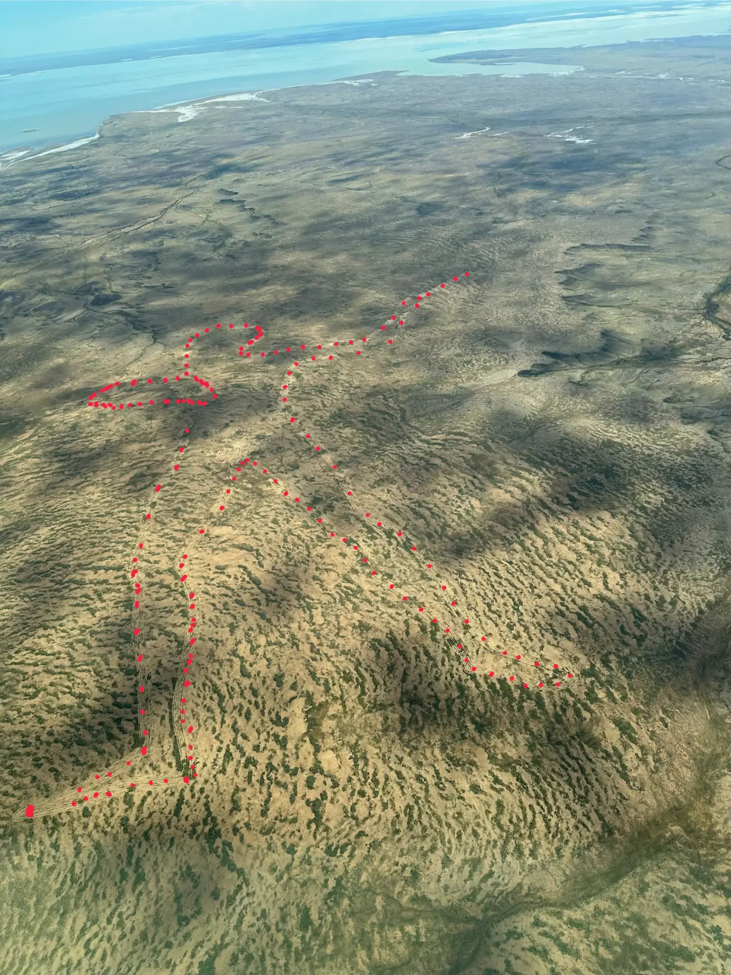 5.3 Marree Man - 4km outline of an indigenous man traced in the soil by earthmoving excavators
The next landmark was to fly over the Oodnadatta Track between Marree and Oodnadatta via William Creek. From the air, the road is very straight, dusty and red dirt.
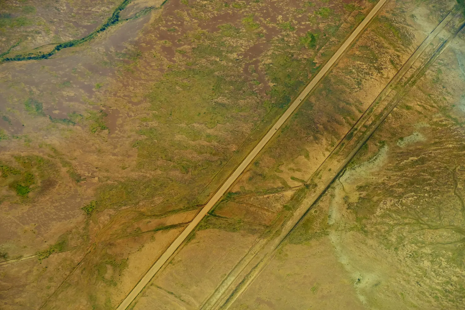 5.4 Motorcycles on Oodnadatta Track
It was good to spot two adventure motorcyclists heading north, just as I had done in 2012. The road ruts and corrugations enroute to William Creek for fuel and food and the overnight at Oodnadatta made it one of the tougher days of that trip.
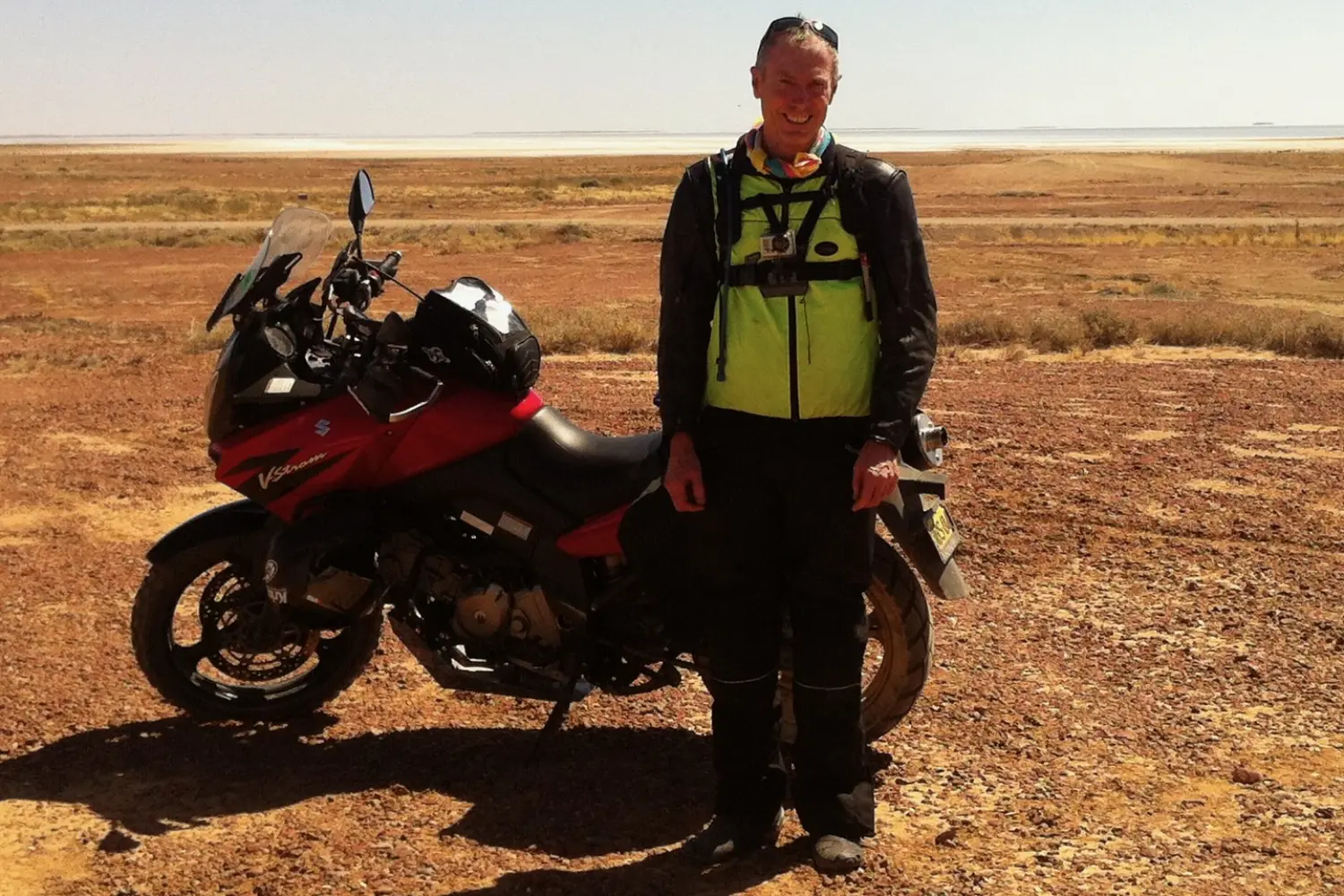 5.5a 2012 Motorcycles trip - stopping to observe Lake Eyre South with about 10% water.
At 90km into the flight, the floodwater expanse was visible as we approached Lake Eyre South. It was about 25km across north to cross the first lake. The light and cloud combination made for good photos.
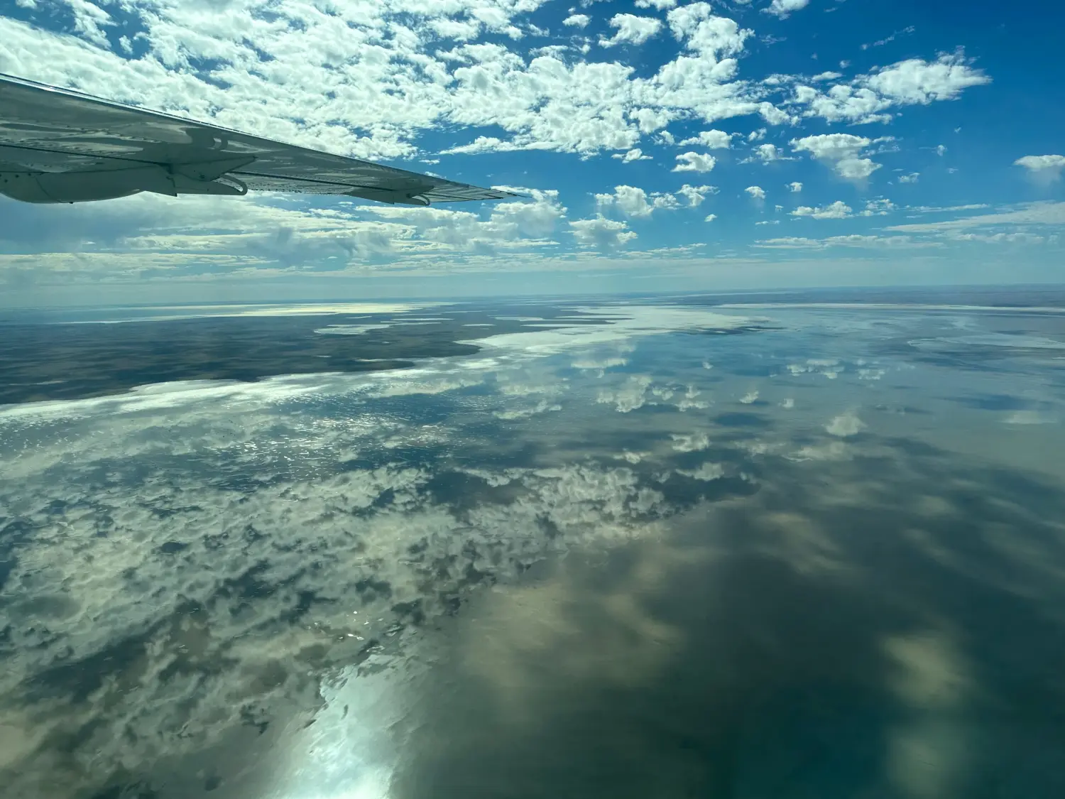 5.6 South Lake Eyre is about 25km of water to fly across
After 150km flying we reached the south end of Lake Eyre. This is 120km flying over an amazing water mass in the middle of one of the driest deserts on earth. The pilot said that when full, both Lake Eyres holds 17% of Australian water area. It is easy to see why the earliest colonial explorers described this as an inland sea.
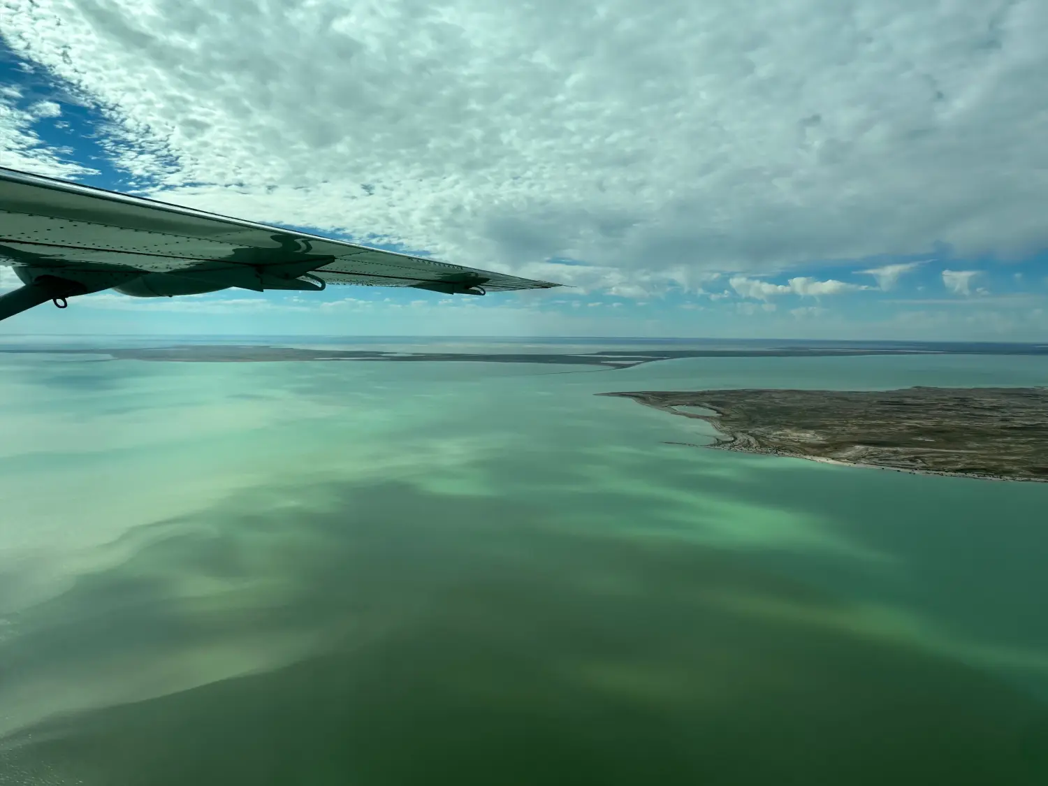 5.8 Approaching Dulhunty Island in Lake Eyre North. 80km east of William Creek
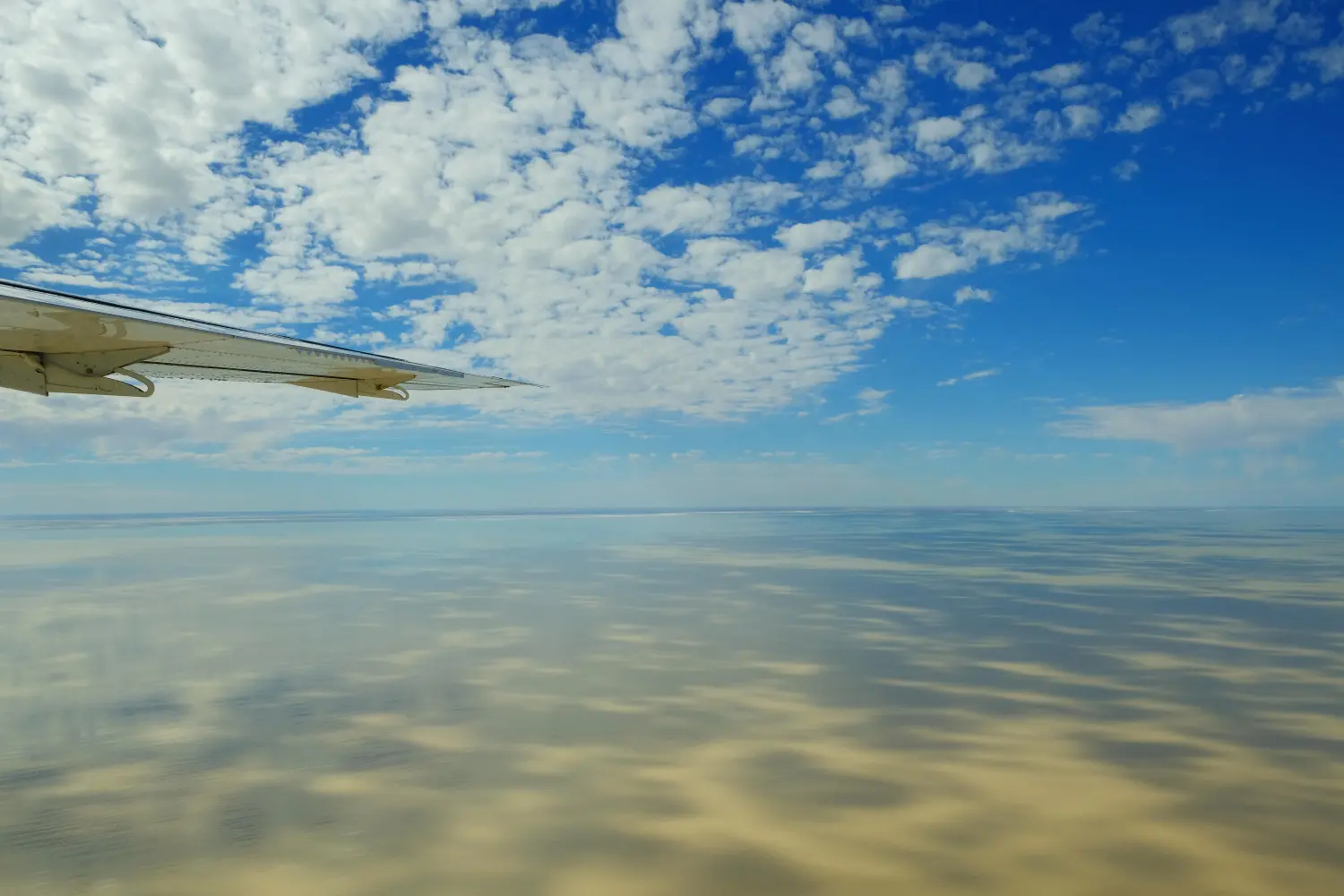 5.9 Lake Eyre North, South Australia
At the top of Kati-Thanda Lake Eyre the flight path changed to North West, and we could view the Simpson Desert famous parallel sand dunes. Normally parched, there were lines of vegetation visible from the higher vantage point of the plane.
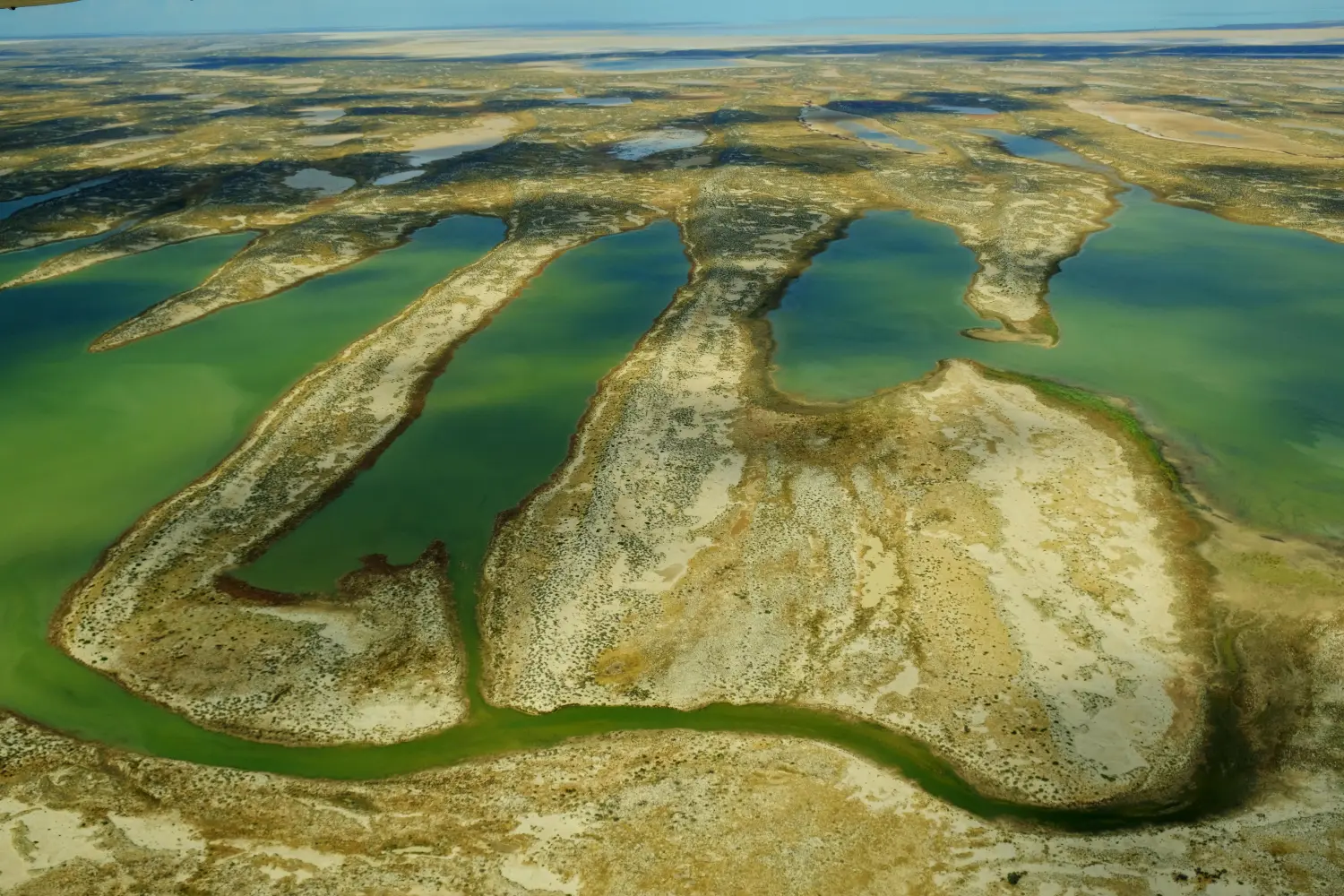 5.12 Warburton Creek, Kalamurina, South Australia
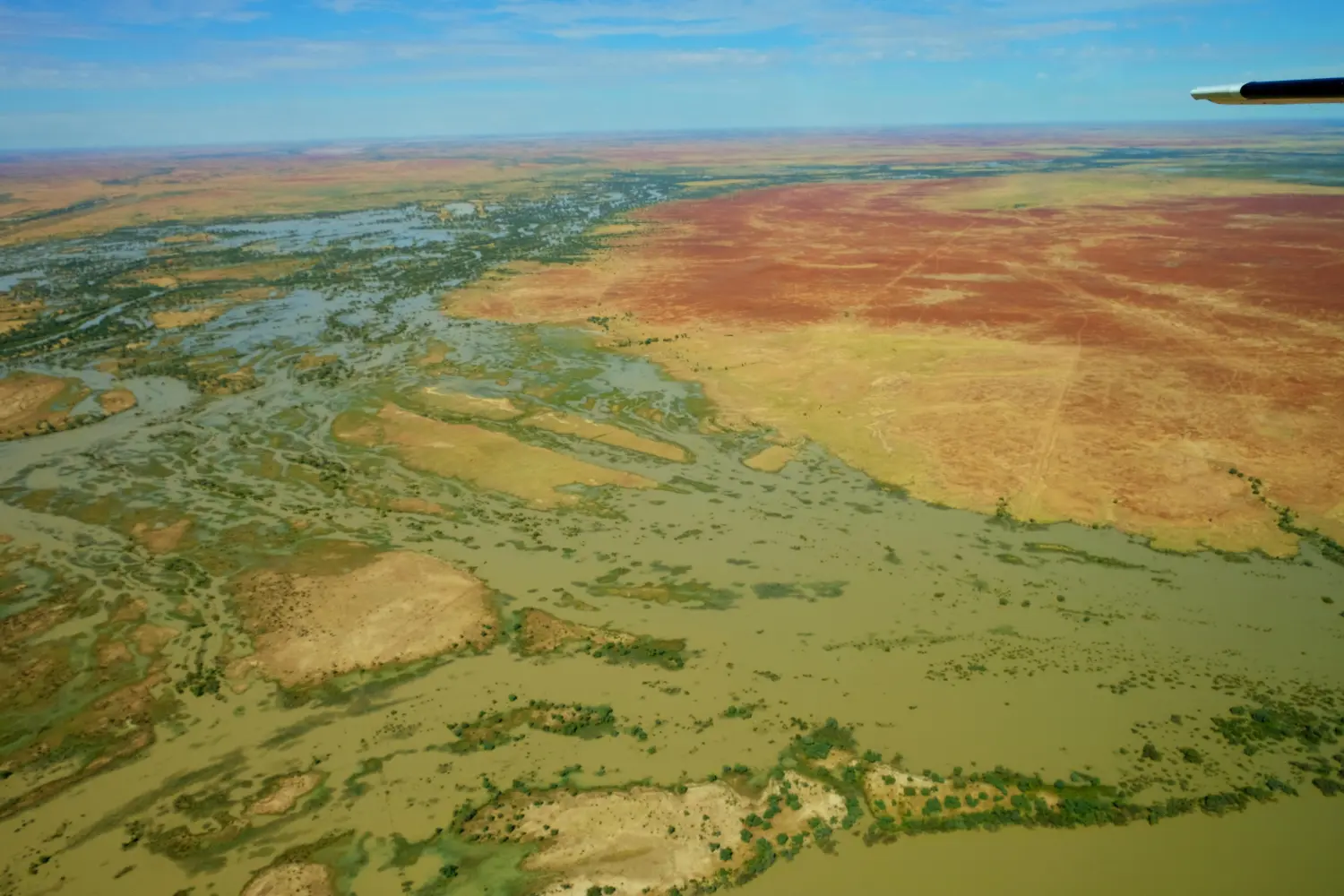 5.14 Goyder Lagoon, Clifton Hills Station
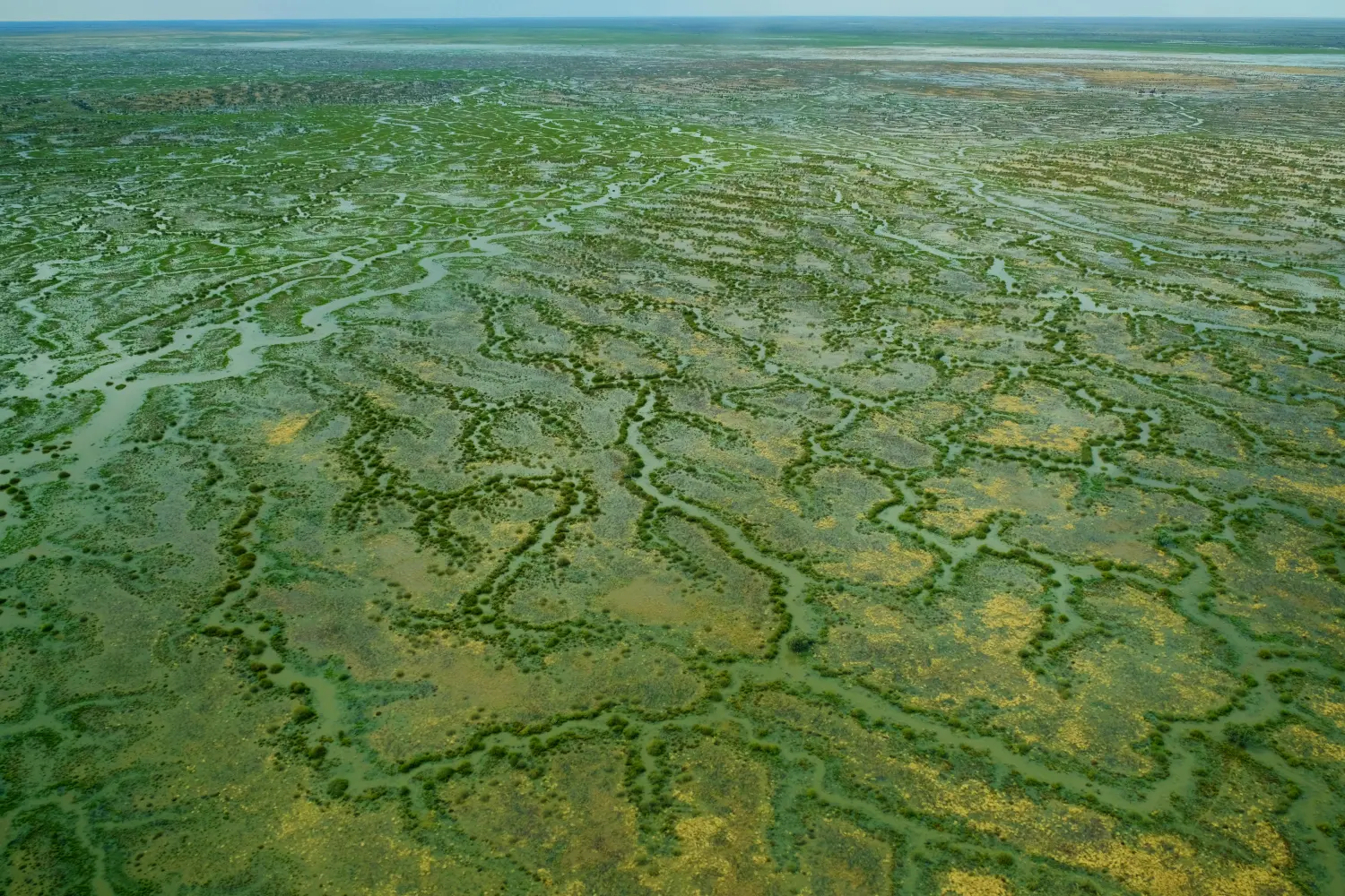 5.16 Motor Car Dam , Clifton Hills Station. South Australia
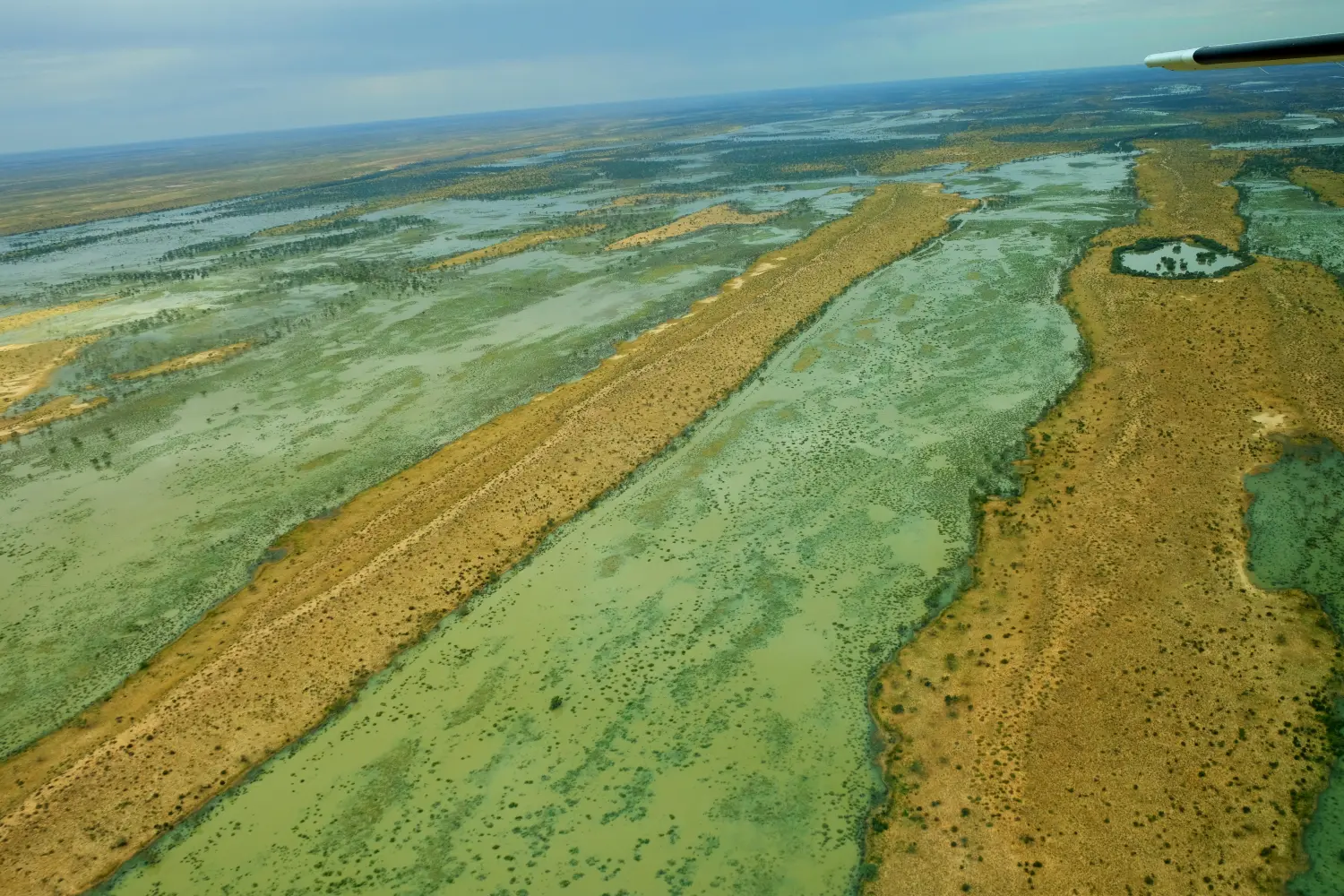 5.17 Tin Hole Yard, Alton Downs Station, South Australia
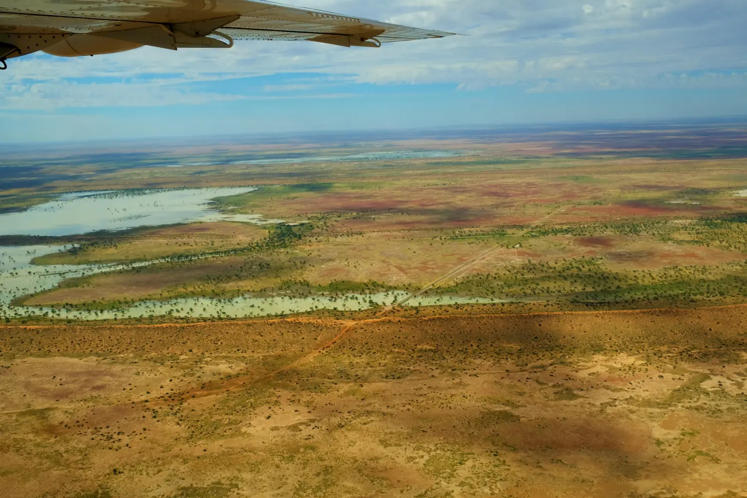 5.18 Approaching Big Red Sanddune - about 30km west of Birdsville, QLD
West of Birdsville, we flew over the Big Red Sand Dune which forms the amphitheater for the Big Red Bash Concerts. Unfortunately it was was washed out this this year. We landed at 12:30 after a flight of 635km in 2hr 36min.
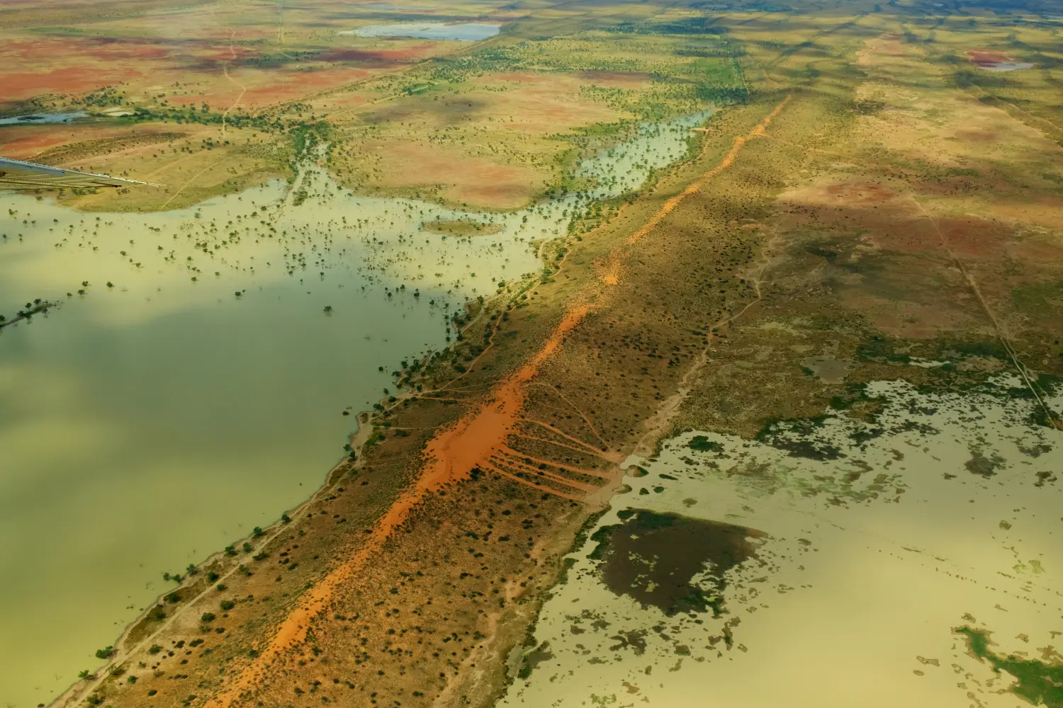 5.19 Big Red Sand Dune - Birdsville, QLD
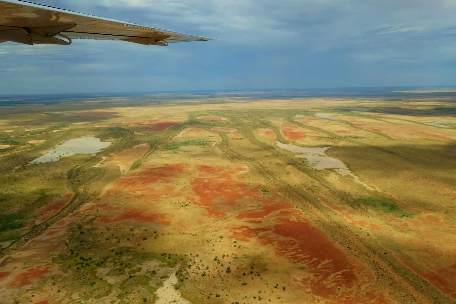 5.20 Birdsville, QLD
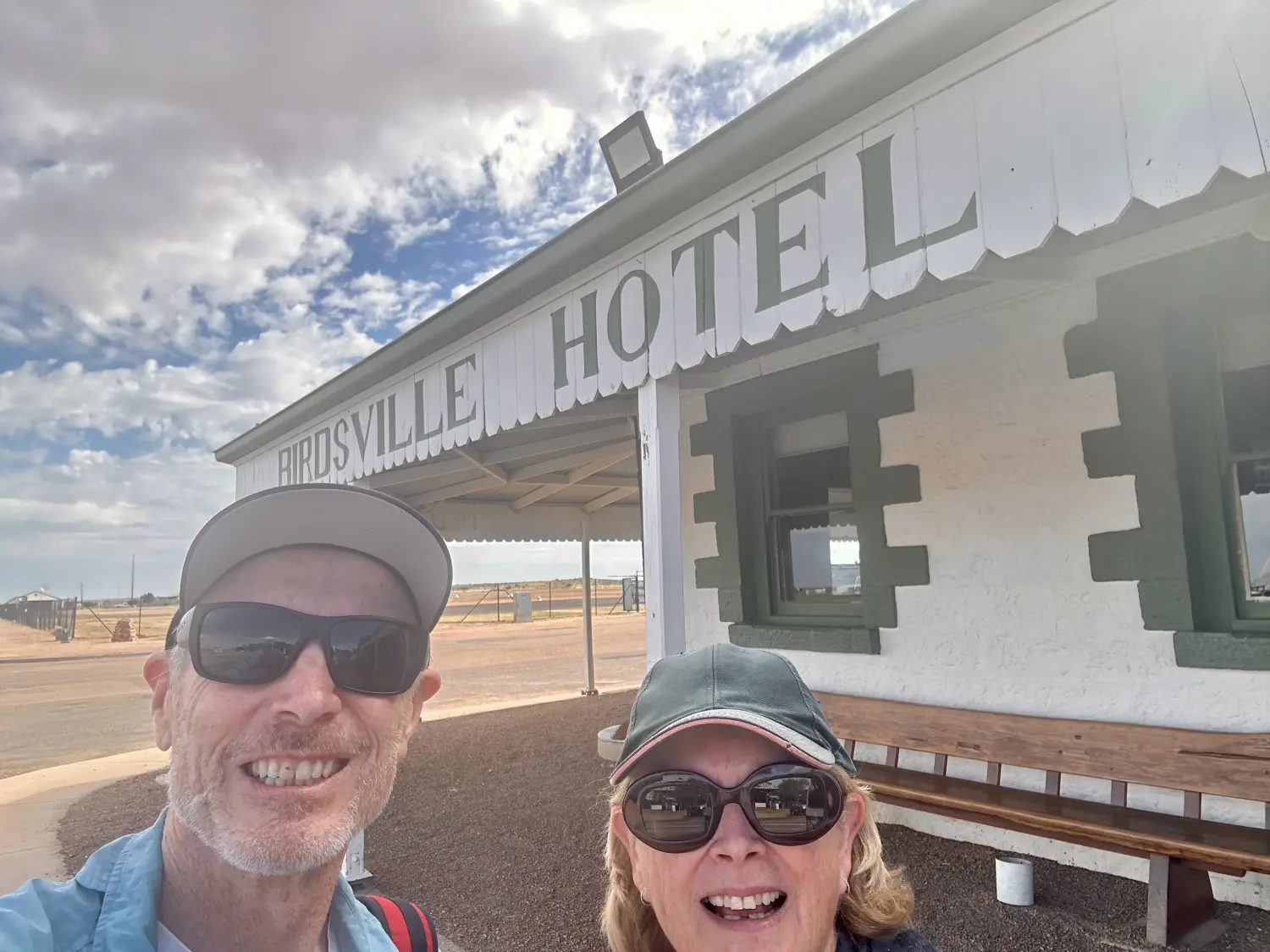 5.21 Birdsville, QLD
After landing and parking the plane, we walked less then 100m to the iconic Birdsville Hotel, where we enjoyed our preordered lunches and had a chat with the group. Distance 573 km ; Average Moving ground speed - 264kph
There had been a second Cessna Caravan at the airport and their group was lunching at the same time. They were on a multi day flight and had flown from the Gold Coast.
The return trip was a lot further east and a slightly shorter flight (573km 2:11). The route headed back to Marree towards Innamincka, over the Diamantina River, Strzelecki Desert, Coongie Lakes & Cooper Creek.
Following the flooded Birdsville Track for the first 105km, we passed over the following channel country cattle ranches and landmarks.
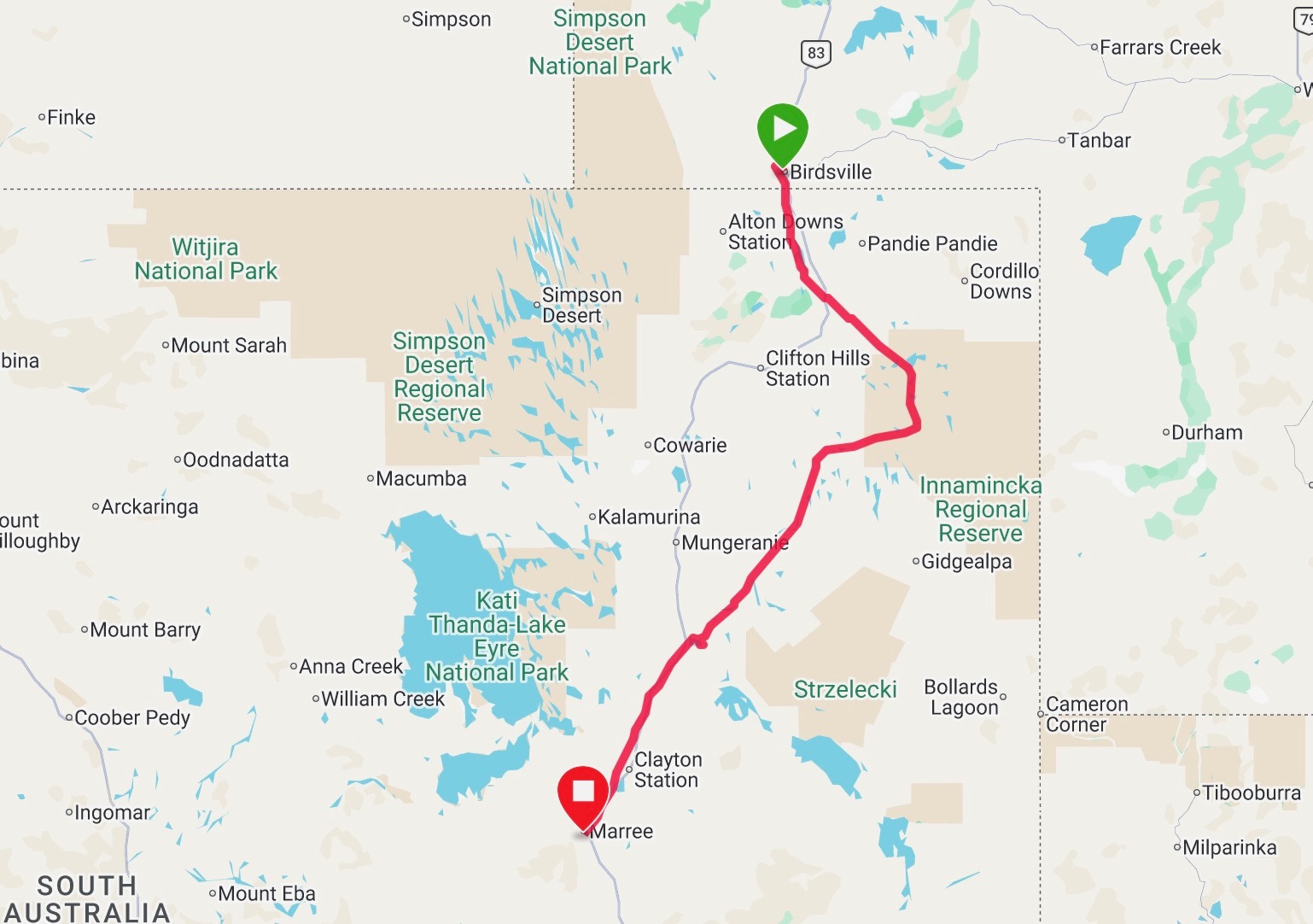 5.29 Birdsville to Marree Flight Track
| Flight Dist from Birdsville | Flying Location |
|---|---|
| 50km | On the west was Alton Downs Station, over Lake Uloowaranie and Simpson Desert |
| 70km | On the east Pandie Pandie Station |
| 170km | on the west was Clifton Hill Station |
| 200km | The Coongie Lakes National Park The massive Innamincka Regional Reserve was to our east as |
| 285km | Joined following Cooper Creek |
| 400km | Strzelecki Desert to the east |
| 420km | Cooper Creek ferry crossing |
| 440km | rejoined the Birdsville Track and flew over M.V. Tom Brennan |
| 525km | Clayton Station |
| 535km | Muloonrina |
| 540km | Lake Harry Old Homestead |
| 565km | Marree Station |
| 573km | Marree Airport - Landed |
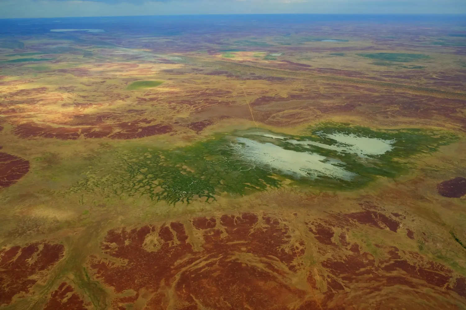 5.23 Dickinna Hill, Pandie Pandie, South Australia
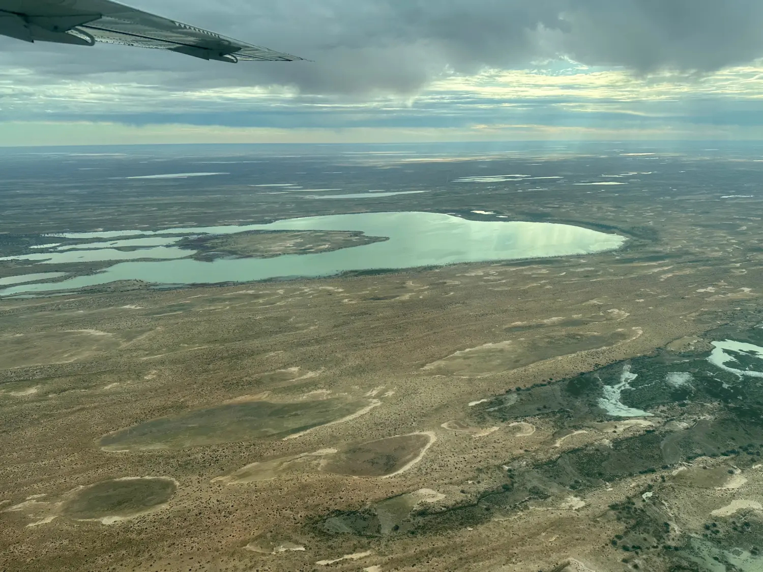 5.24 Clifton Hills Station, South Australia, 5733
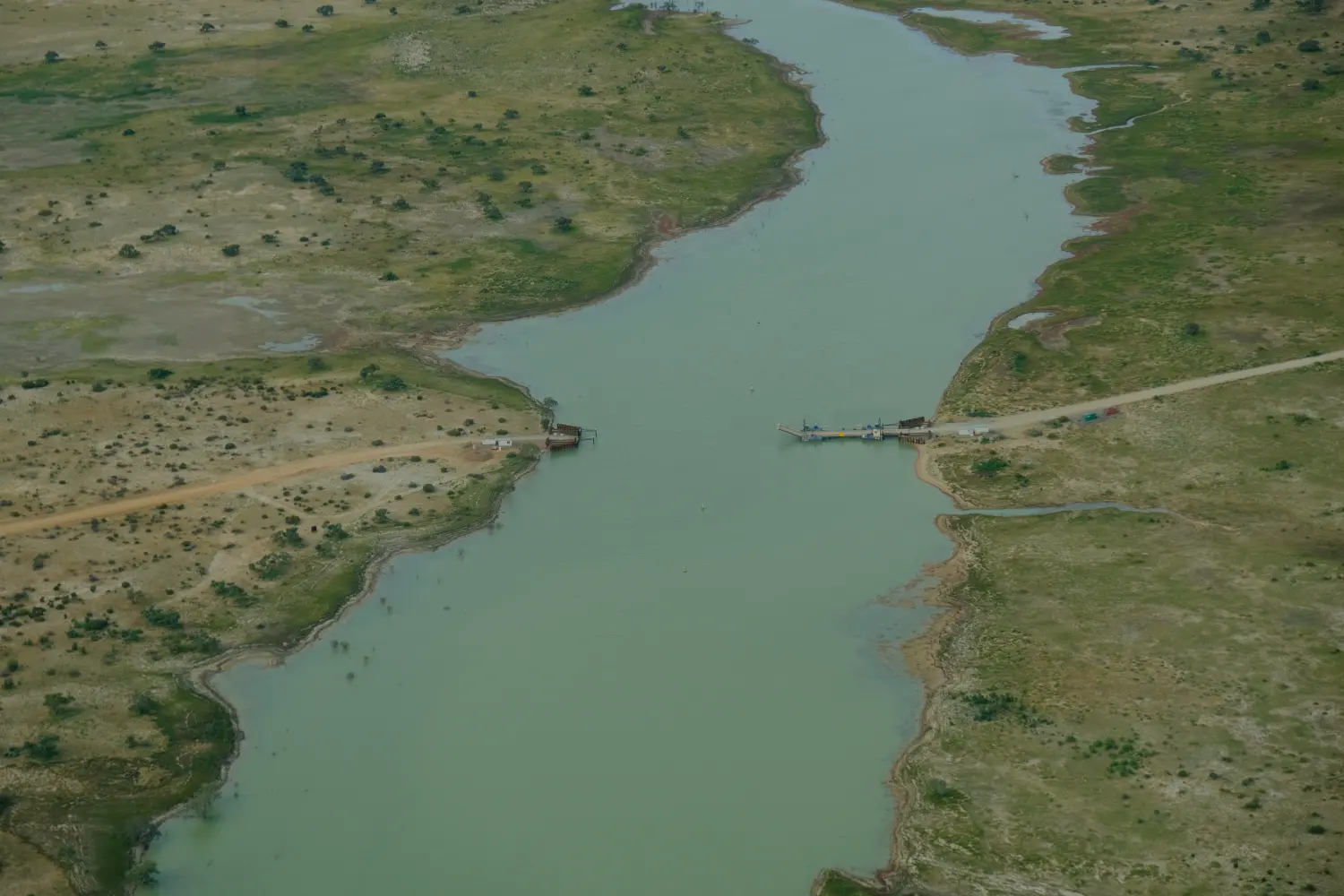 5.25 Dilpualco Creek, Birdsville Track (Wet Weather Route), Etadunna, South Australia, 5733
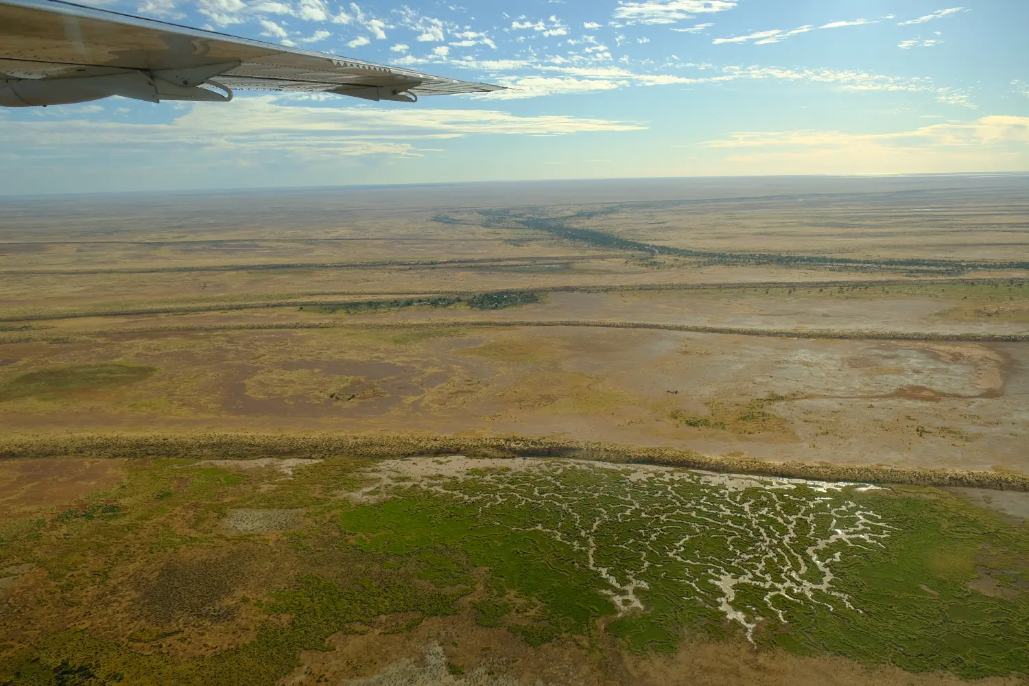 5.26 George Dam, Dulkaninna, South Australia, 5733
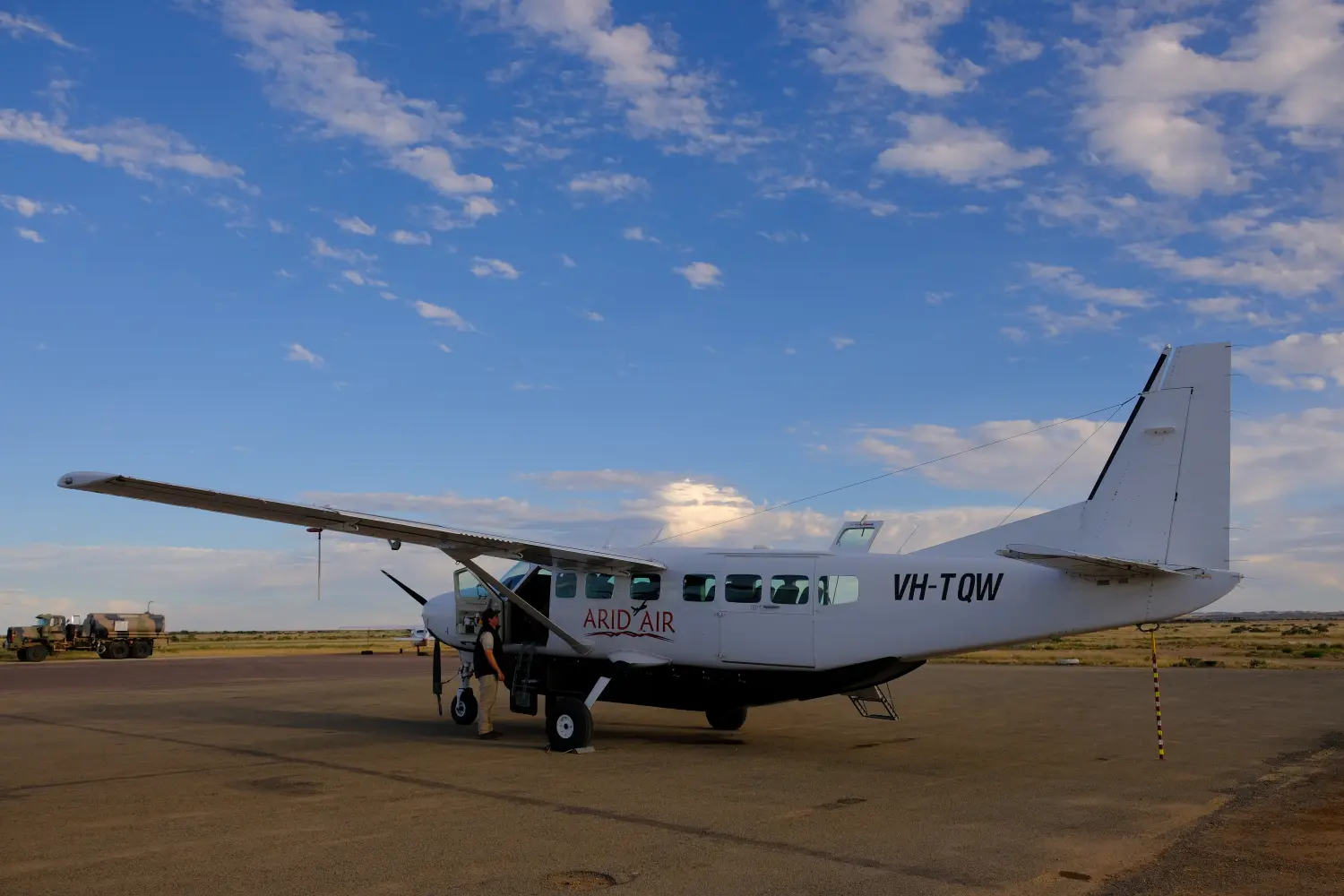 5.27 Marree Airport, SthAust