Day 6 - 2026-05-12 - Marree to Clare
Starting with the pub breakfast, of bake beans, eggs and toast, we bid farewell to Vicky from Tasmania who was driving her Mercedes Campervan back to Port Augusta to meet friends. For a single lady in her 70s she was adventurous and had been a lot of interesting places.
Next farewell was to Alan on his Honda CBX500. He too had come up to Marree to do the one day Lake Eyre flight. His motorcycle was set up well and perfect as a lighter weight adventure bike that can eat road miles and was miserly fuel consumption.
Before leaving Marree, I posted a postcard to Pat & Tomm in California. It will be interesting to see how long it takes to arrive. The Zimbabwean ones took about 4 weeks so this will compare.
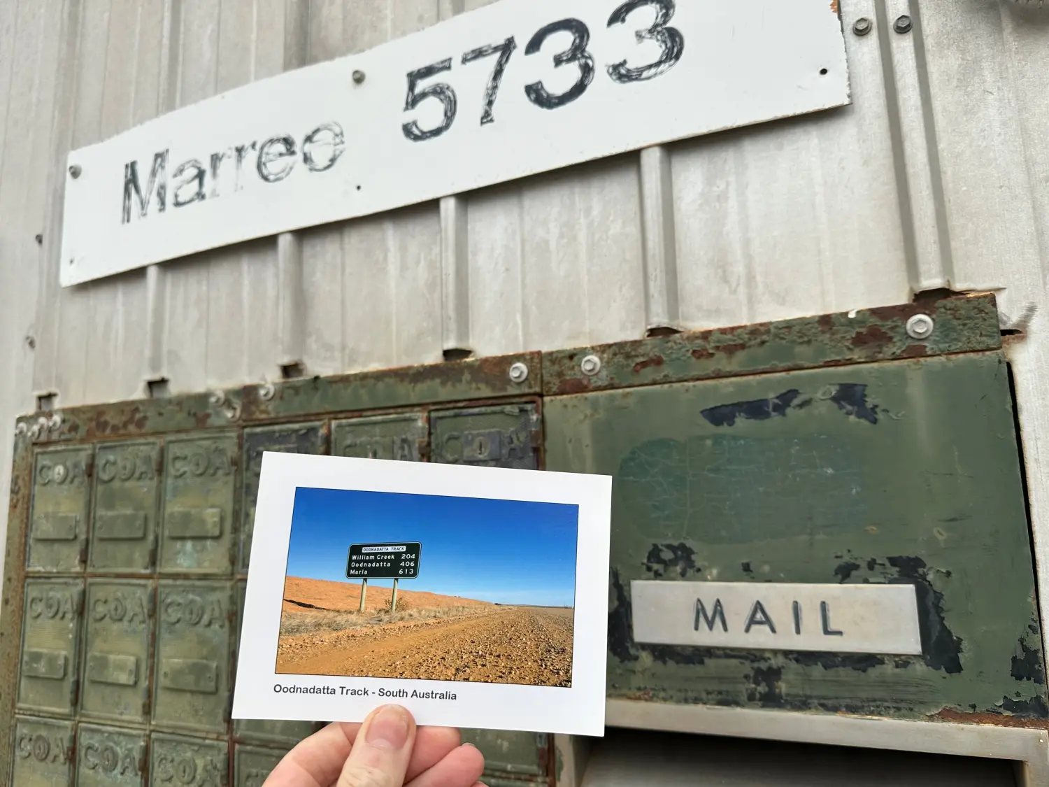 6.1 Marree, SthAust
The first stop on the drive south (55km south of Marree) was at the abandoned town of Farina. We spent an hour following the sign posted walk around the remants of the town, which included a general store, post office, hotel, police station, bakery and residential buildings.
Farina
1876: surveyed as a waterbore and town site. It was originally called “The Gums” or “Government Gums” after the Farina River red gum trees.
1878: optimistic farmers arrived, hoping “the rain follows the plough”.
1882: Farina become the narrow-guage railhead in 1882, until extended to Marree in 1884.
In the late 1890s & 1900s, Sidney Kidman (The Cattle King) used both railheads for transporting mobs of 70,000 cattle he had droven from Queensland and destined for city markets
1880s: During ther wet years it was believed that the area would be good for growing wheat and barley. Plans were laid out for a town with 432 quarter acre blocks and 88 suburban blocks.
1890s: Silver and copper mines were opened nearby and the town’s population peaked at 600 with the town comprising of two hotels, hospital, underground bakery, a bank, two breweries, a general store, two churches & a mosque, five blacksmiths, and a one teacher school of up to 53 students (1879–1957). 1893: The only doctor between Port Augusta and Darwin was here
1909: a 1,143-kilogram iron meteorite was discovered north-east of the town.
1920’s: Road transport improvements meant that Farina’s role as a rail service centre progressively diminished.
1930s: Adelaide to Darwin air service (Guinea Airways) used Farina airfield as a refueling stop and passenger refreshment until the 1950s.
1960s: Post Office and Bell’s General Store closed. The last resident left in 1975.
2008: Farina Restoration Group formed. The famous bakery is now opens in May to July.
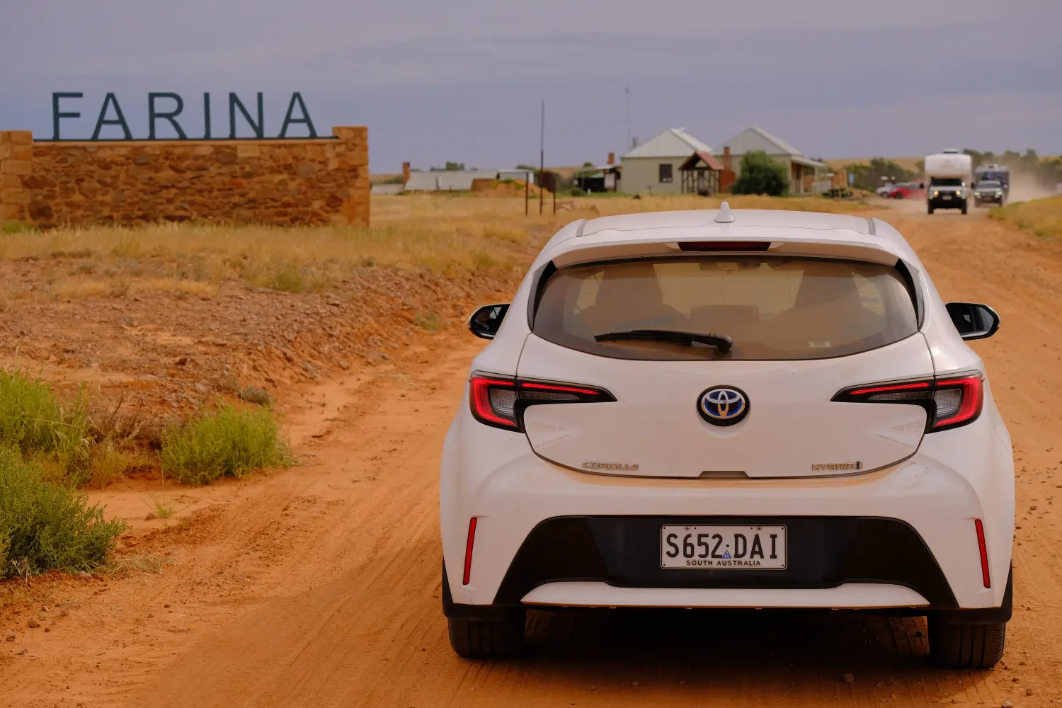 6.2 Witchelina, SthAust
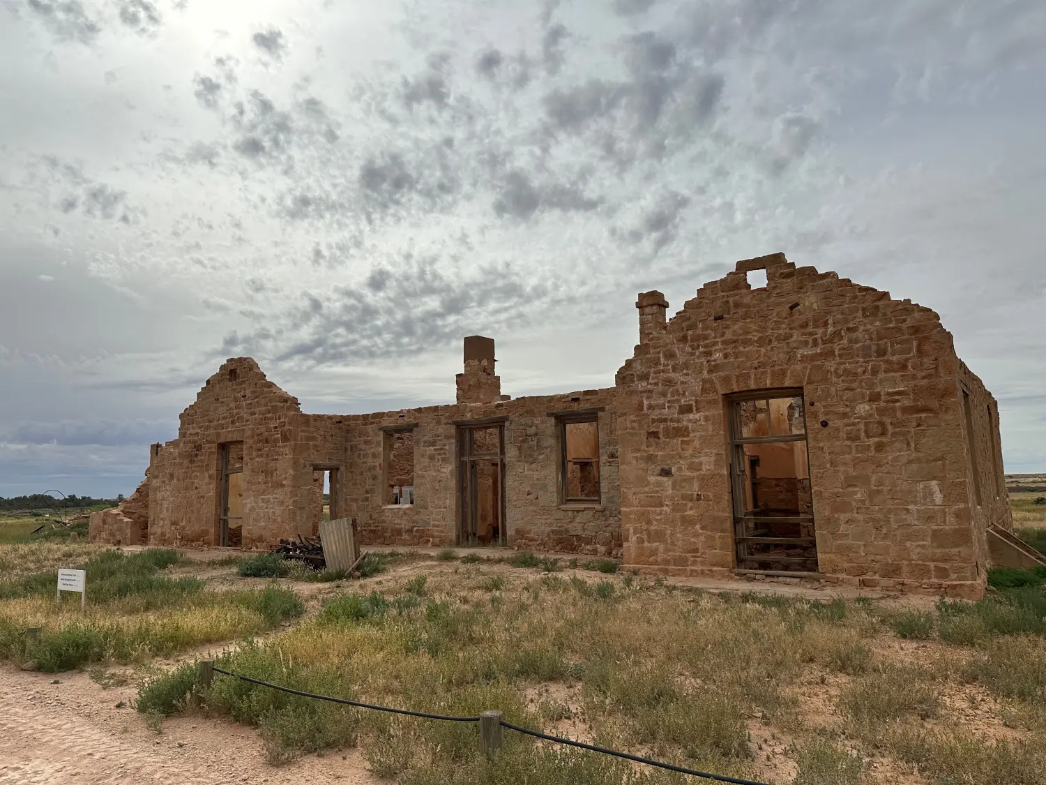 6.4 Transcontinental Hotel
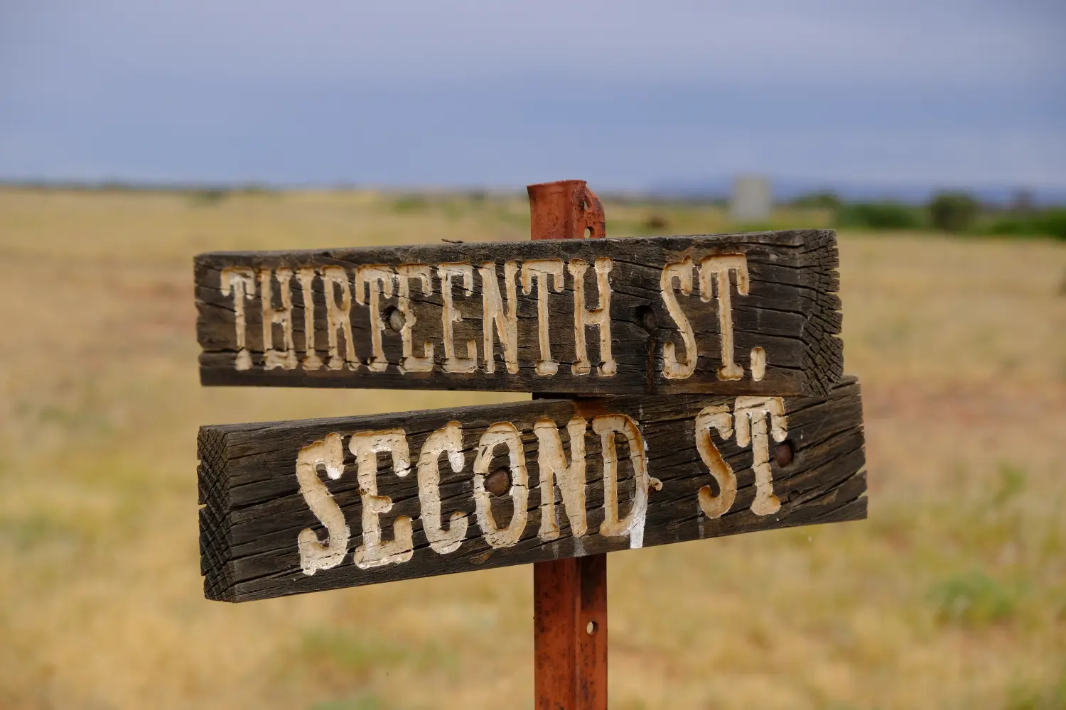 6.5 Farina, SthAust
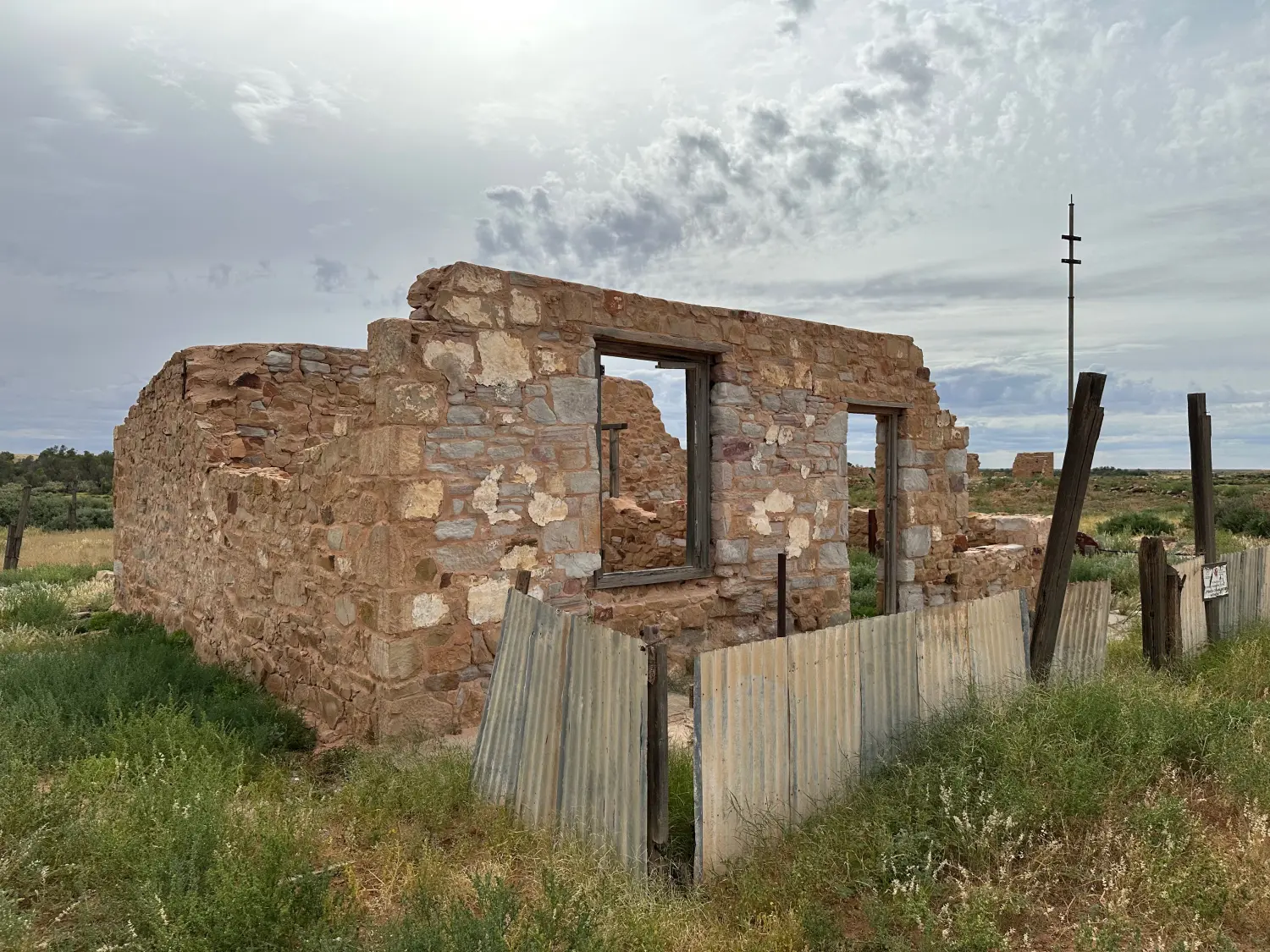 6.6 Moffatt House, First Street
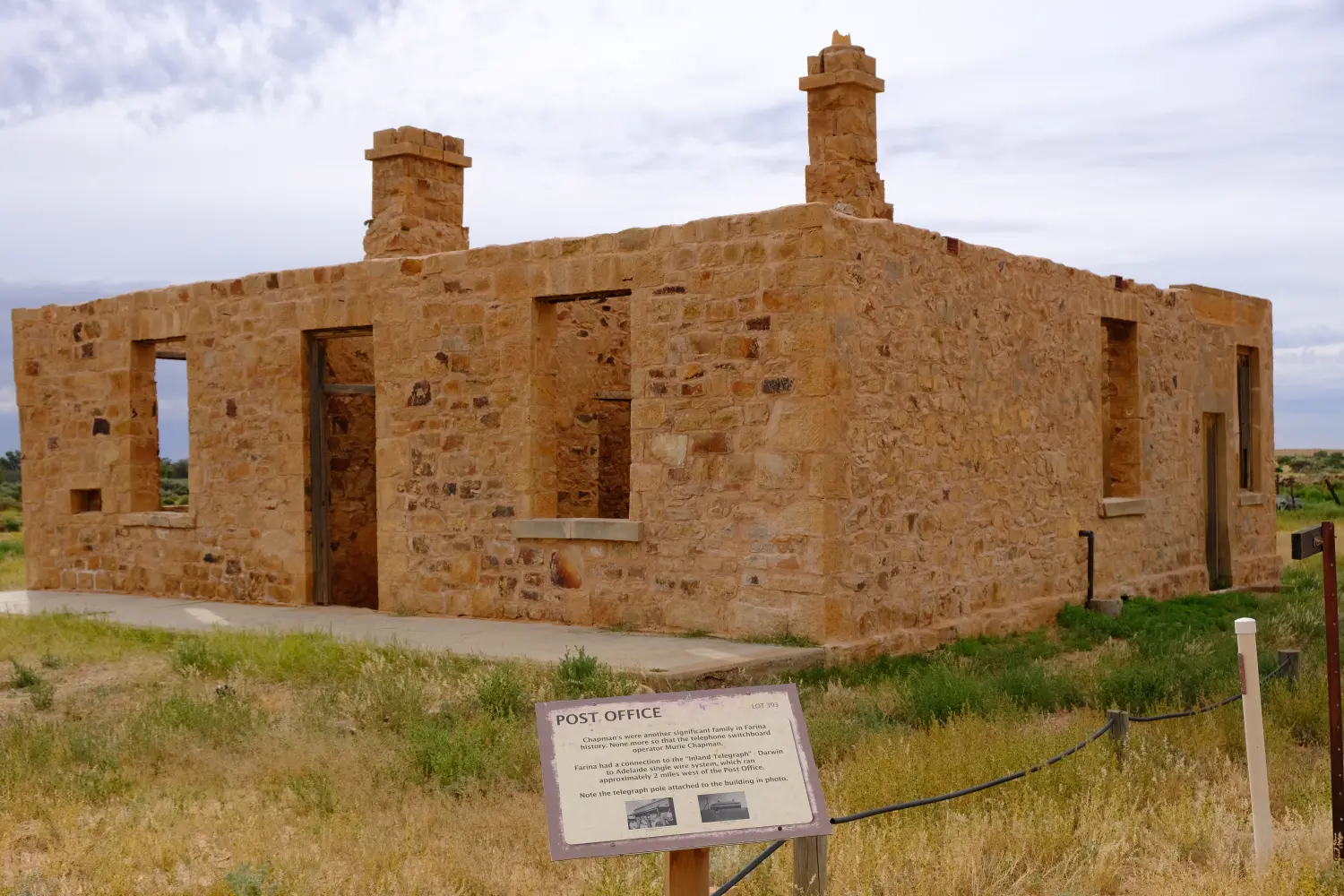 6.7 The Post Office, which also had a connection to the Inland Telegraph line
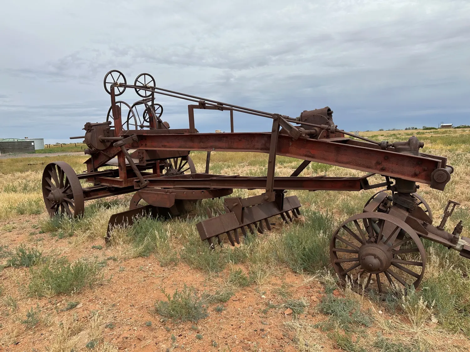 6.8 Horse drawn road maintanence machinery
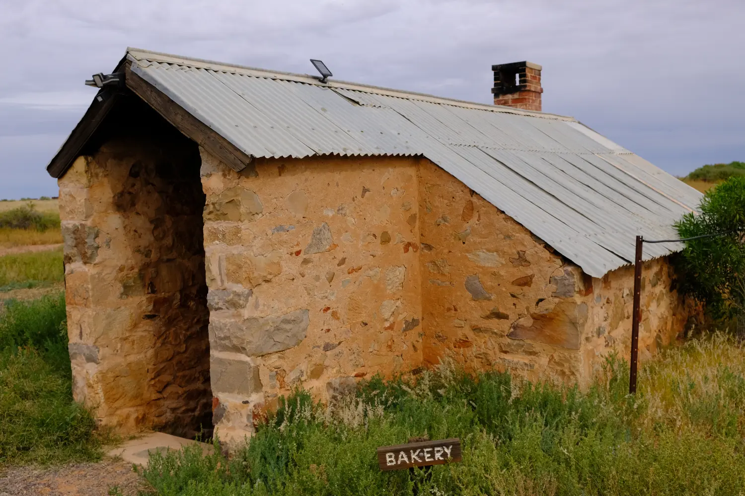 6.9 Farina Bakery underground oven is operated by volunteers to feed grey-nomads from May-July; Profits support town restoration.
Continuing south we had a short stop at Lyndhurst (1896), a rail stop for Ghan Railway via Marree to Alice Springs.
The Strzelecki Track begin here and goes to Innamincka, Queensland. It has been a legendary stock route from the Kidman era cattle drives.
Lyndhurst
Lyndhurst was gazetted as a town in 1896 after the narrow-guage Ghan railway opened to Farina
In 1891 bumper wool year, 1,424 bales of scoured wool were carted by Afghans strings with by up to forty camels, to the railhead at Lyndhurst.
The Afghan camel handlers trained locals to provide working camel teams for haulage of good’s, road building and dam-cleaning until the 1940s.
The 1950’s rabbit plagues saw Lyndhurst providing services for the rabbiteers. Birdwatching - 30 km east of the Lyndhurst is a well-known site for viewing the Chestnut-Breasted Whitefaces .
In Dec 2020, 10,000 astronomers arrived to watch the 26sec solar eclipse, being one of two places in the world to experience a total eclipse. Today the town is still a stopping off point and watering hole for tourists and ‘truckies’ associated with the Moomba gas and oil industries.
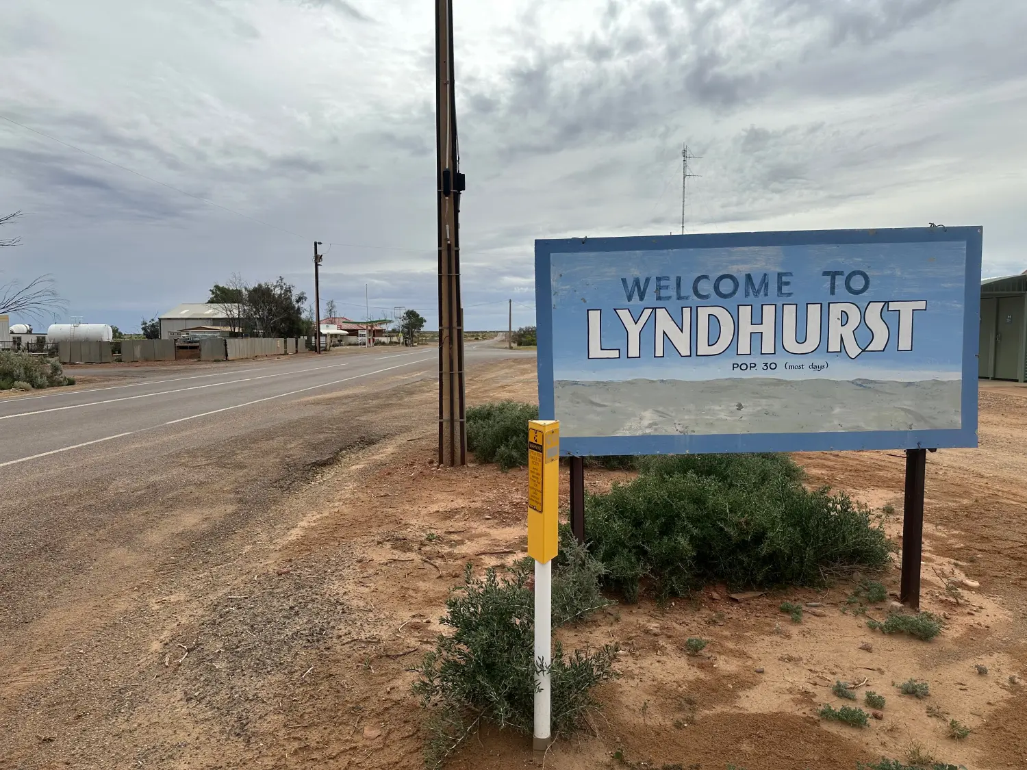 6.10 Lyndhurst, SthAust
We stopped for lunch at Hawker. The front of the car was now covered in dead locusts, which we would eventually wash off at a car wash in Clare.
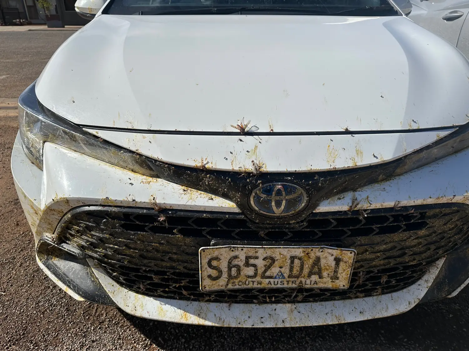 6.12 Evidence of the swarns of dead locusts on the Outback Highway
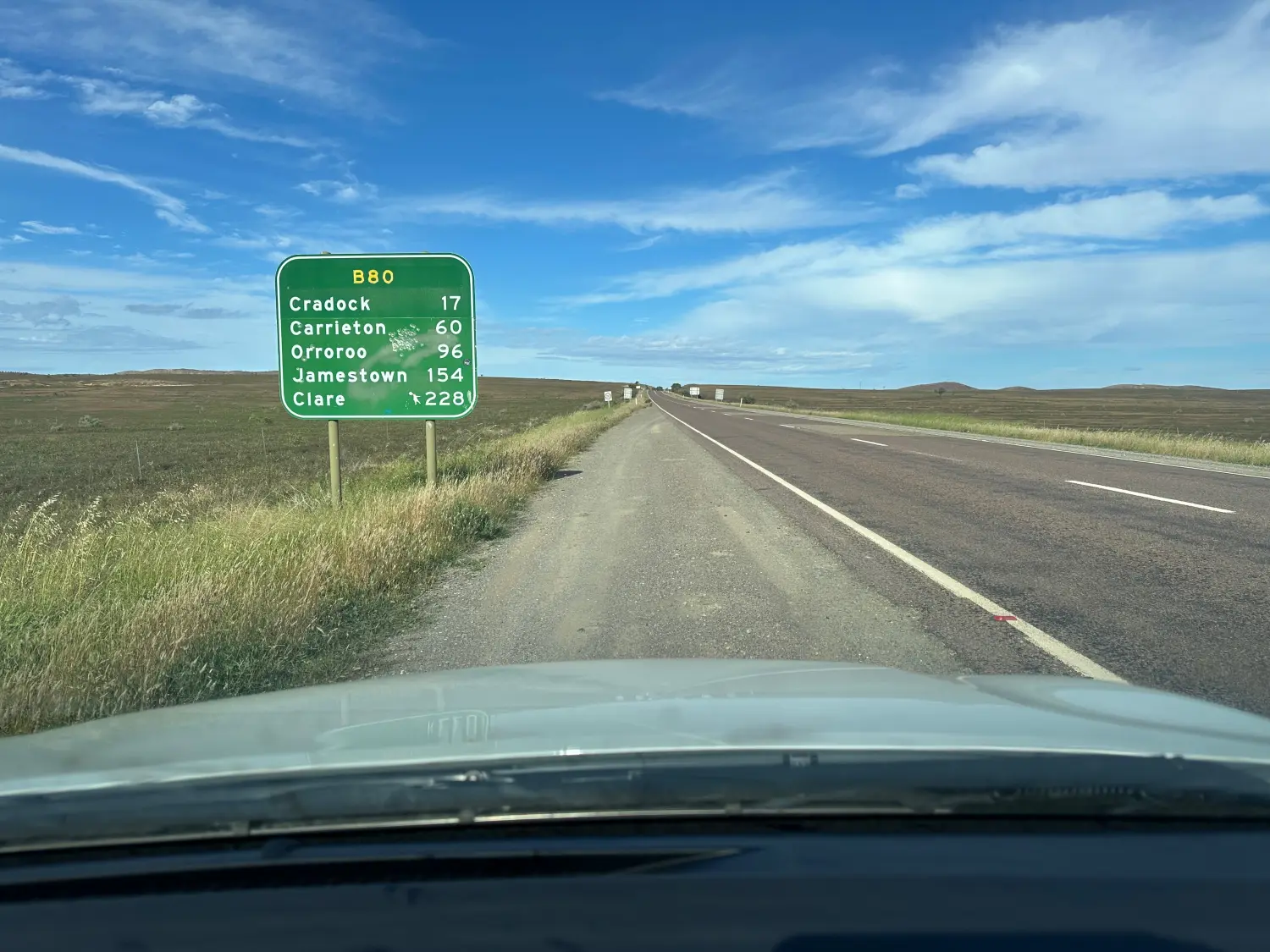 6.13 Travelling south from Hawker
The fuel was now getting low and we pulled into the small village of Carrieton to fill up, only to find that the general store was opener hours were restricted hours during quieter times.
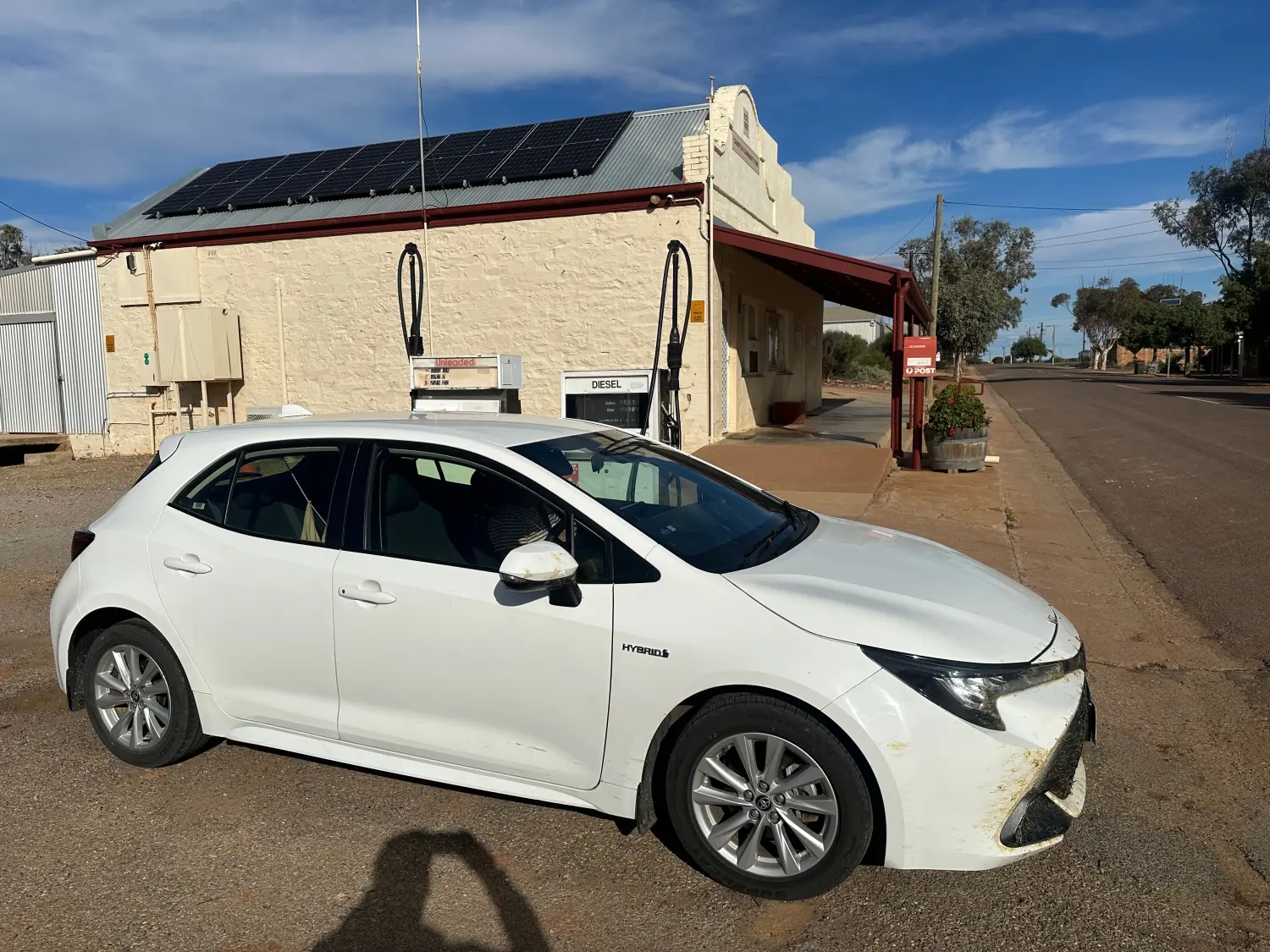 6.14 Carrieton fuel stop did not eventuate
We slowed down and monitored the fuel guage and eventually filled up at at Jamestown. This was a town much bigger than expected, having driven around the town on the way north. The town appeared to support general and farming services equipment for wheat, sheep and crops agriculture.
The farms became greener and more supportive of sheep and wheat agriculture.
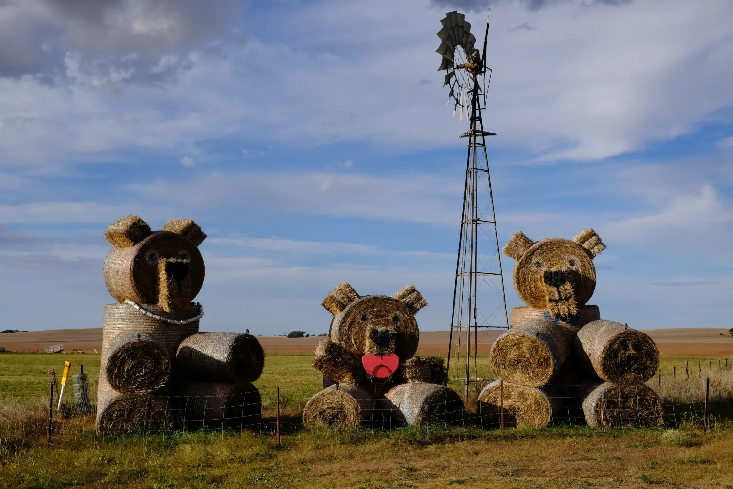 6.15 Farm Art - Bradtke Road
The Bentley Hotel on Main Street was easy to find. After checking in, we used the remaining daylight to explore on foot the main street and the hills behind. The autumn leaves were starting to fall and the town and surrounding farms appeared to be at the end of the summer crop harvesting. The town supplies and services the vineyard and the farms.
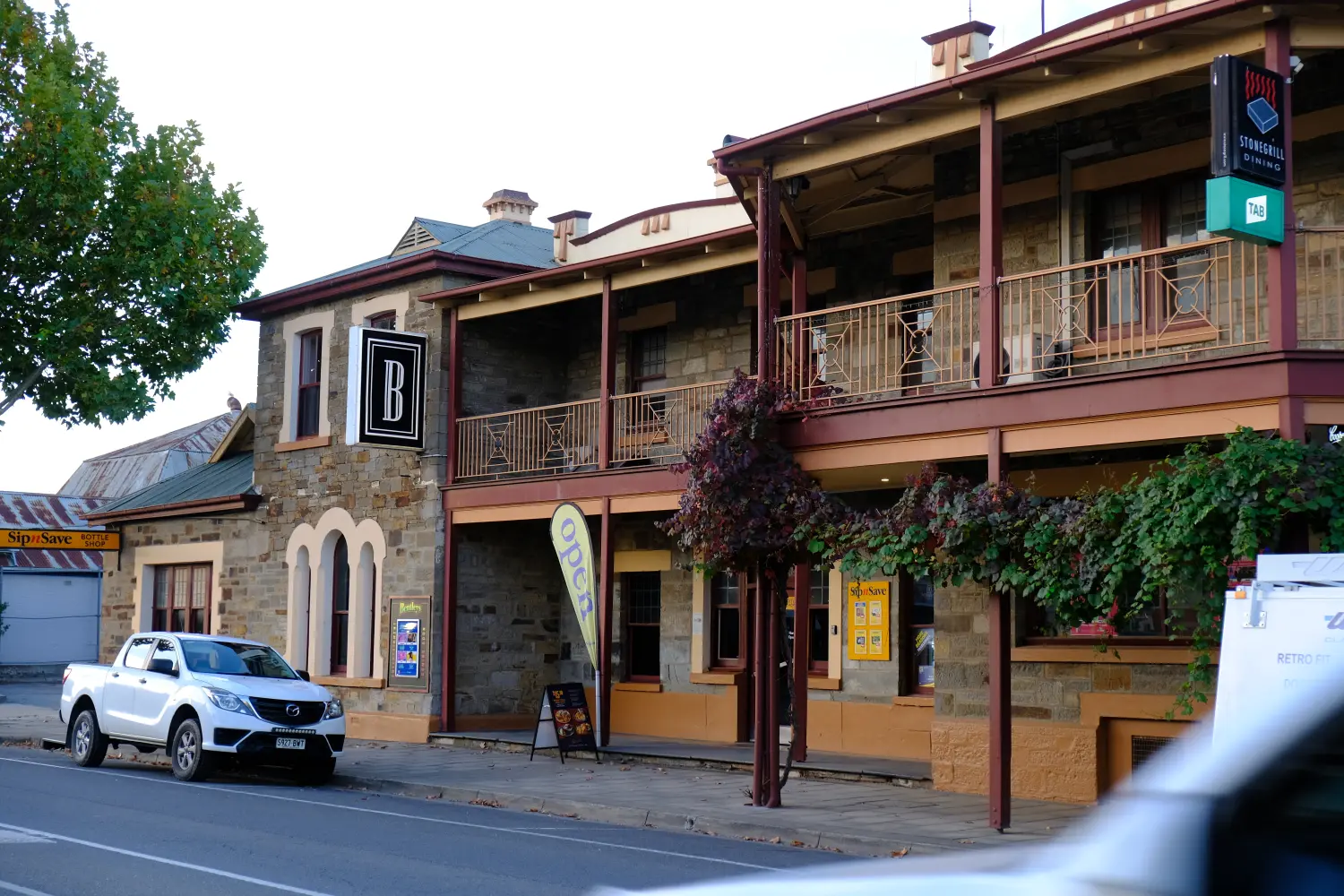 6.17 Our accomodation at the Bentley Hotel, Clare
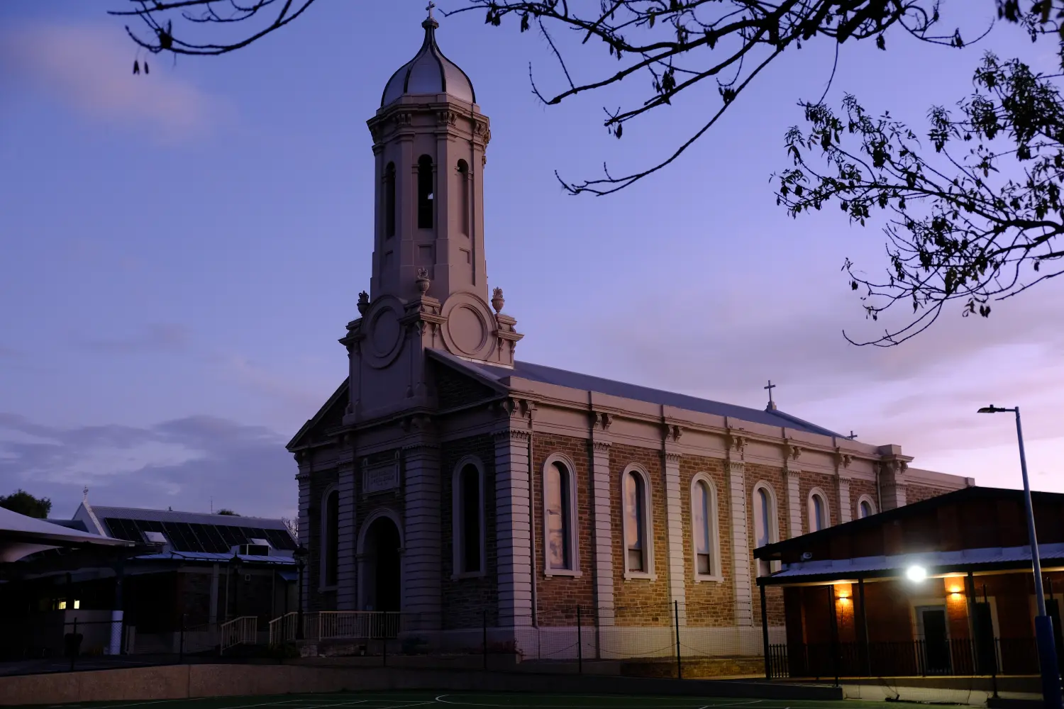 6.18 On our ofternoon walk, we passed the church at a private school on top of the hill in Clare
Dinner was in the hotels where we enjoyed a local Riesling wine.
Tomorrow is our last night - we have a day to explore the Clare Valley and will stay within an hour of the airport
Today’s driving: 514km